People of Harvest Interview Series: Josef Wagner
NASA Harvest, NASA’s Food Security and Agriculture Program, is a global consortium with contributions from people of many different backgrounds, specialties, and interests. What unites us all is a dedication to bolstering food security around the world through Earth observation applications, and a shared passion for technology that improves lives. We are proud of the work that we do and the people who produce it. This feature introduces the people of NASA Harvest, showcasing the members of our organization and how their efforts support a food-secure future.
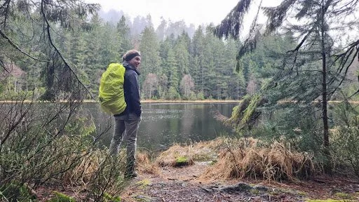
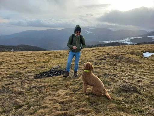
Hi! My name is Josef Wagner and I'm a researcher with NASA Harvest based at the University of Strasbourg. I was born in Germany but grew up in France in a small Alsatian village, surrounded by maize fields and a nice river. I spent most of my life outside, hiking, fishing, and my younger self swore, I would never work in an office. Now I am doing a PhD in remote sensing with NASA Harvest in a fusional relationship with my Dell laptop. And I ENJOY it. My educational background is in GIS and remote sensing science, initially with a big focus on ecology, but my master thesis turned me to agriculture.
What do you do within the NASA Harvest consortium?
I joined harvest just a few months before the war started in Ukraine. Since then, my core focus is around in-season crop type mapping and estimating planted areas in Ukraine. This extends to damage assessment and estimating how much cropland area has been abandoned due to the war. I am also involved in crop nitrogen uptake estimation and fertilization recommendation, which is right now gaining a lot of traction.
How did you get involved with NASA Harvest?
Pretty early during my master’s degree I knew I would be interested in research. I was at the lookout for a PhD position and coincidentally stumbled upon one at the University of Strasbourg, where Inbal Becker-Reshef (NASA Harvest Director) has a joint appointment with the University of Maryland. At this point I had never heard about NASA Harvest. But things went well, I obtained the scholarship funding and ended up doing my PhD with NASA Harvest.
What do you enjoy about working with the consortium?
Working with NASA Harvest is great under lots of angles. It’s kind of the ideal situation where research is not considered complete once the proof of concept is done, but rather once a useful product is handed over to an end user. It just feels like every day of work brings a lot of purpose.
I do also like the freedom I have to choose topics of interest and explore them, next to my main task. It’s really exciting for me to help kick off the NASA Harvest Nitrogen uptake work. I initially contacted and helped build our partnership with Xavier Bailleau, an agronomist, crop modeler, and also a farmer who developed crop N uptake estimation models for the better part of his life, based near Paris, in France.
Last but not least, I am in a very unique position as a PhD student, where I am working with world renowned researchers on meaningful projects. I am now looking forward to getting my first paper(s) published.
Can you highlight one memorable project/experience that you’ve had with NASA Harvest?
The core of my PhD really gravitates around crop type mapping in Ukraine. It is kind of old news right now, but when the conflict started, there were tremendous amounts of uncertainty around how much of the winter cereals planted before the war would be harvested by the occupant? How much summer crops would be planted? Media were going crazy, speculating on halved production numbers for Ukraine as compared to usual years.
So there was a real demand of end-users like the Ukrainian government, FAO and other organisms for reliable planted area, and later on production estimates in Ukraine. The caveat here is that for doing the area estimates we needed an in-season crop type map. And where most of those maps are generated off-season and leveraging high amounts of annotated data for model training, this country scale map had to be generated in-season and without any recent training data available.
We managed to generate a first Sentinel-2 based map by April, just separating winter crops from everything else. By early June, the NASA Harvest partnership with Planet allowed us to access Planet 2 weeks composites, which are way less cloudy than the corresponding Sentinel-2 images. Based on this data, we developed a completely unsupervised approach to map first winter crops and potential summer crops. Then we split winter crops into winter cereals and rapeseed.
We also developed a system for monitoring summer crop planting during the growing season. It ended up being a very intense spring and summer where we ultimately proved that remote sensing can be used without any ground data to generate coherent planted area estimates, and where we demonstrated the incredible resilience of Ukrainian farmers. Against all forecasts from the media, farming did not stop in Ukraine, summer crops were sown, winter crops were harvested. As of today, the agricultural sector in Ukraine did not stop, despite drastic changes along the frontline where the war made cultivation impossible.
What’s next for you?
Right now I am aiming at finishing my PhD, getting some meaningful papers out. But on a longer term, I would like to transition more towards agronomy and deepen my work around crop nitrogen uptake estimation from satellite data. Also, automating and operationalizing the pipelines developed for in-season crop mapping and area estimation in Ukraine would be really great. I do believe that with a bit of work we could be able to generate in-season crop type maps at a much bigger scale than just Ukraine, at least for the Northern hemisphere.


